
Baldhu
About Baldhu
Baldhu is in Cornwall. Among the nearby places are Twelveheads only 1.7 km South West, Threemilestone only 1.9 km North North East, Newbridge situated 2.4 km East North East and Chacewater just 2.5 km West North West. Other rural localities include Bissoe, Saveock, Helston Water, Coombe and Jolly's Bottom.
You may notice something interesting if you explore one of the nearby places.
This information is based on OS, ONS and OSM data released under open licence.
⇅
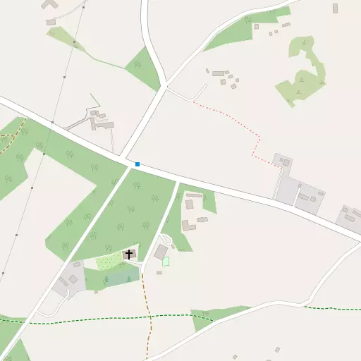
Local Map
⇅
Location Summary
- Baldhu is located in Cornwall
- Administrative Area: Cornwall
- Ceremonial County: Cornwall
- Historic County: Cornwall
- Region & Country: South West / England
⇅
Nearby Towns & Cities


⇅
Nearby Localities
- TwelveheadsVillage 1.7 km SW
- ThreemilestoneVillage 1.9 km NNE
- NewbridgeVillage 2.4 km ENE
- ChacewaterVillage 2.5 km WNW
- GlowethDistrict 2.9 km NE
- CusgarneVillage 2.9 km SSW
- RingwellVillage 3.0 km SE
- TreliskeDistrict 3.0 km NE
- FrogpoolVillage 3.5 km SSW
- Little BesideVillage 3.6 km W


⇅
Smaller Settlements
- Bissoe 1.8 km S
- Saveock 1.9 km NNW
- Helston Water 2.1 km SE
- Coombe 2.6 km SSW
- Jolly's Bottom 3.0 km NW
- Greensplat 3.1 km S
- Todpool 3.1 km W
- Kea 3.6 km E
- Trewedna Water 4.0 km SSW
- Sparry Bottom 4.3 km WSW


⇅
Beaches
- Loe Beach7.4 km SE
- Porthtowan Beach9.6 km WNW
- Well Beach10.5 km SSE
⇅
Parks
- Lanner Moor6.2 km SW
- Palm Cross Green88.4 km E
- Summerleaze Down76.9 km NNE
- Trungle Moor35.1 km WSW
⇅
Woods
- Halbullock Moor2.6 km ENE
- Moor Plantation2.7 km ESE
- North West Plantation2.6 km ESE
- Southmoor Plantation2.7 km ESE

⇅
Hills
- Carn Marth6.3 km WSW
- North Downs6.6 km W
- St Agnes Beacon9.3 km NW
- Tubbon Hill6.4 km SSW
⇅
Lakes
- House of Water9.0 km WSW
- Merther Pond8.4 km E
- Tresemple Pond8.2 km ENE
- Wheal Maid Tailings2.7 km WSW
⇅
Waterfalls
- Golitha Falls51.5 km ENE
- White Lady Waterfall82.9 km ENE
- Yealm Steps86.6 km ENE
⇅
Headlands
- Messack Point10.2 km SE
- Restronguet Point7.4 km SE
⇅
Islands
- Godrevy Island19.6 km W
- The Island18.9 km N

⇅
Wetlands
- Victoria Point6.9 km E
- Malpas Point7.4 km E
- Pill Point7.6 km SE
⇅
Health Services
- Treliske HospitalHospital 3.1 km NE
- Camborne Redruth Community HospitalHospital 8.8 km WSW
- The MowhayMedical 4.3 km ENE
- Amberley HouseMedical 4.7 km ENE
⇅
Education
- Oak Tree SchoolSchool 1.3 km N
- Threemilestone SchoolSchool 1.6 km NE
- Penryn CampusUniversity 8.6 km S
⇅
Railway Stations
- Perranwell3.6 km SSE
- Truro4.7 km ENE
⇅
Bus Stations
- Truro Bus Station5.7 km ENE
- Camborne Bus Station12.9 km WSW
⇅
Coach Stations
- Plymouth Coach Station71.0 km ENE
- Torquay Coach Station115.5 km ENE
⇅
Ferry Terminals
- Trelissick7.7 km ESE
- Philleigh7.9 km ESE
⇅
Airports
- Newquay Cornwall Airport22.8 km NNE
- Land's End Airport42.2 km WSW
⇅
Airfields
- Truro Airfield3.6 km NNW
- Perranporth Airfield9.9 km NNW
⇅
Heliports
- Cornwall Air Ambulance Station22.9 km NNE
- Penzance Heliport30.6 km WSW
⇅
Harbours
- South Harbour9.2 km SSE
- Penryn Harbour9.4 km SSE