
Childerley Gate
About Childerley Gate
Childerley Gate is in Cambridgeshire. Neighbouring places include Highfields Caldecote around 912 m South South West, Hardwick around 2.1 km East South East, Upper Cambourne situated 2.5 km West and Caldecote just 2.6 km South South West. Other countryside settlements include Childerley, Old Wimpole, Westwick, Northstowe and Papworth St Agnes.
You might learn something new by clicking through to a nearby place.
All information is drawn from OS, ONS and OSM under open licence, reflecting the best available public data.
⇅
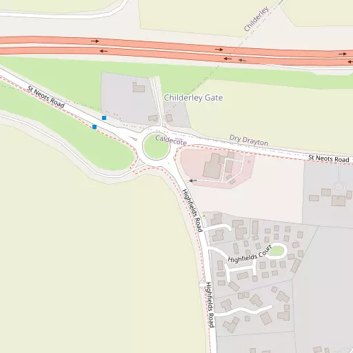
Local Map
⇅
Location Summary
- Childerley Gate is located in Cambridgeshire
- Administrative Area: Cambridgeshire
- Ceremonial County: Cambridgeshire
- Historic County: Cambridgeshire
- Region & Country: Eastern / England
⇅
Nearby Towns & Cities
⇅
Nearby Localities
⇅
Smaller Settlements
⇅
Beaches
- Mill Beach
- Snettisham Beach
- Snettisham Scalp
⇅
Parks
- Butt Green
- Empty Common
- New Pasture
- Wimpole Park
⇅
Woods
- Double Plantation
- Honeyhill Wood
- New Barns Plantation
- Weatherfield Orchard
⇅
Hills
- Claypit Hill
- Craft's Hill
- Orwell Hill
- Thorn Hill
⇅
Lakes
- Church Pond
- Horseshoe Pond
- Lake Ewart
- Sirius Lake
⇅
Waterfalls
- Neptune Waterfall
- The Cascade
- Tower Waterfall
⇅
Headlands
- Tripcock Ness
- West Point
⇅
Islands
- Holt Island
- Riddy Island
⇅
Wetlands
- Chesterton Fen
- Ouse Fen
- Fowlmere
⇅
Health Services
- Cambridge Lea Hospital
- Royal Papworth Hospital
- St Keynes
- Midfield Lodge Nursing Home
⇅
Education
- Caldecote Primary School
- Hardwick Community Primary School
- Madingley Hall
⇅
Railway Stations
- Cambridge
- Cambridge South
⇅
Bus Stations
- Drummer Street Bus Station
- Addenbrooke's Bus Station
⇅
Coach Stations
- Stansted Airport Coach Station
- Luton Airport Bus and Coach Station
⇅
Ferry Terminals
- Blackfriars Pier
- Bankside Pier
⇅
Airports
- Cambridge City Airport
- Stansted Airport
⇅
Airfields
- Bourn Airfield
- Little Grandsden Airfield
⇅
Heliports
- The Egerton-Smith Centre
- Magpas Air Ambulance
⇅
Harbours
- Chelsea Harbour
- Harwich Harbour