
Chyanvounder
About Chyanvounder
Chyanvounder, in Cornwall, has Cury around 2.6 km East South East, Mullion situated 4.0 km South East, Porthleven around 4.4 km North West, Mullion Cove around 4.7 km South South East and Garras just 4.8 km East North East. Other rural communities nearby include Gunwalloe, Berepper, White Cross and Cross Lanes.
You may find extra local information by clicking a nearby place.
Information is sourced from OS, ONS and OSM under open licence, using publicly available datasets.
⇅
Local Map
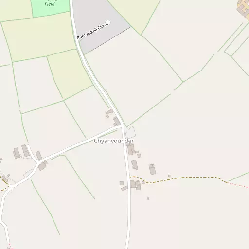
⇅
Location Summary
- Chyanvounder is located in Cornwall
- Administrative Area: Cornwall
- Ceremonial County: Cornwall
- Historic County: Cornwall
- Region & Country: South West / England
⇅
Nearby Towns & Cities
⇅
Nearby Localities
⇅
Smaller Settlements
⇅
Beaches
- Gunwalloe Fishing Cove Beach
- Loe Bar
- Porthleven Sands
⇅
Parks
- Lanner Moor
- Palm Cross Green
- Summerleaze Down
- Trungle Moor
⇅
Woods
- Bar Walk Plantation
- Carminowe Down Plantation
- Carminowe Wood
- Pentire Wood
⇅
Hills
- Brill Hill
- Prospidnick Hill
- Tregonning Hill
- Tresowes Hill
⇅
Lakes
- Carminowe Creek
- Leech Pool
- The Loe
- Trevassack Lake
⇅
Waterfalls
- Golitha Falls
- White Lady Waterfall
- Yealm Steps
⇅
Headlands
- Men-y-grib Point
- Predannack Head
⇅
Islands
- Henscath
- Mullion Island
⇅
Wetlands
- Caca-stull Zawn
- Groyne Point
- Polbream Point
⇅
Health Services
- Helston Community Hospital
- Falmouth Hospital
- Poldhu Nursing and Residential Home
- Porthgwara
⇅
Education
- Cury Church of England Primary School
- Mullion Junior and Infant School
- Penryn Campus
⇅
Train Stations
- Truthall Halt
- Tregadjack Sidings
⇅
Bus Stations
- Camborne Bus Station
- Penzance Bus Station
⇅
Coach Stations
- Plymouth Coach Station
- Torquay Coach Station
⇅
Ferry Terminals
- Penzance Ferry Terminal
- Trelissick
⇅
Airports
- Land's End Airport
- Newquay Cornwall Airport
⇅
Airfields
- Royal Navy Air Station Culdrose
⇅
Heliports
- Penzance Heliport
⇅
Harbours
- Porthleven Harbour
- Gillan Harbour