
Coffle End
About Coffle End
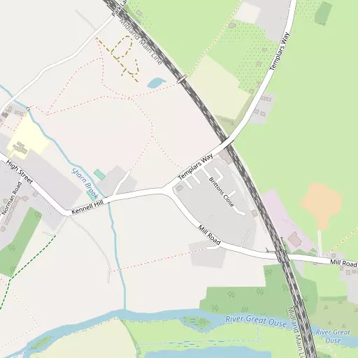
Coffle End is in Bedford. Nearby places include Sharnbrook only 675 m West, Radwell lying 2.1 km South, Felmersham only 2.1 km South South West and Bletsoe around 2.4 km South East. Other rural communities nearby include Bourne End, North End, Knotting Green, Knotting and Scald End.
You might learn something new by clicking through to a nearby place.
All place information is taken from OS, ONS and OSM under open licence.
⇅
Local Map
⇅
Location Summary
⇅
Nearby Towns & Cities
- Rushden
- Higham Ferrers
- Bedford
- Kempston
- Milton Keynes
⇅
Nearby Localities
⇅
Smaller Settlements
⇅
Beaches
- Snettisham Beach
- Snettisham Scalp
- Stubborn Sand
⇅
Parks
- Buckwell Green
- Foot Meadow
- New Pasture
- The Green
⇅
Woods
- Deadman's Spinney
- Eyles's Plantation
- Railroad Plantation
- The Rookery
⇅
Hills
- Cracknell Hill
- Mushroom Hill
- Oakley Hill
- Windmill Hill
⇅
Lakes
- Felmersham Gravel Pits
- Neats Pond
- Plain Pond
- Tom Knocker's Pond
⇅
Waterfalls
- Neptune Waterfall
- The Cascade
- Tower Waterfall
⇅
Headlands
- Botany Bay Point
- Tripcock Ness
⇅
Islands
- Perch Islands
- Pinchmill Islands
⇅
Wetlands
- Summer Leys
- Ouse Fen
- Fowlmere
⇅
Health Services
- Manor Hospital
- Bedford Hospital South Wing
- Milton Ernest Hall
- Avenue House Nursing Home
⇅
Education
- Sharnbrook Primary School and Pre-School
- Sharnbrook Academy
- Polhill Campus
⇅
Train Stations
- Bedford
- Bedford St Johns
⇅
Bus Stations
- North Gate Bus Station
- Huntingdon Bus Station
⇅
Coach Stations
- Milton Keynes Coachway
- Luton Airport Bus and Coach Station
⇅
Ferry Terminals
- Normanton Chain Ferry
- Embankment Pier
⇅
Airports
- London Luton Airport
- Cambridge City Airport
⇅
Airfields
- Sackfield Airfield
⇅
Heliports
- Magpas Air Ambulance
⇅
Harbours
- Chelsea Harbour
- Farndon Harbour