
Coombe
About Coombe
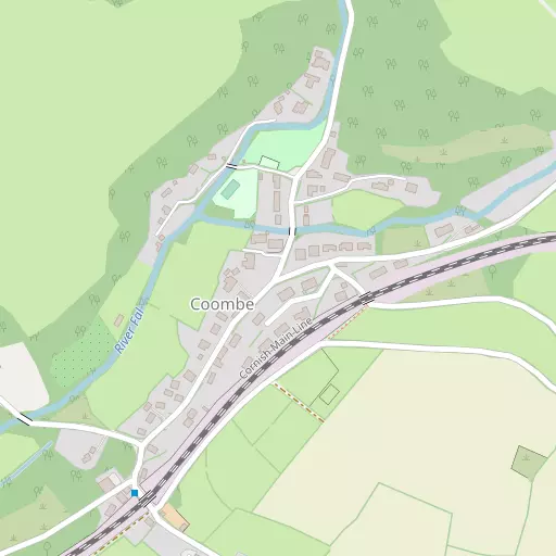
Coombe is in Cornwall. Places nearby include St Stephen situated 1.8 km North North West, High Street situated 2.2 km North East, Lanjeth only 2.6 km East North East, Hornick just 2.8 km East North East and Sticker only 3.0 km East South East. Other nearby hamlets and settlements include Hendra, Hewas Water, Trelion and Terras.
You might discover something new by clicking a nearby place for more local details.
This page uses OS, ONS and OSM data supplied under open licence.
⇅
Local Map
⇅
Location Summary
- Coombe is located in Cornwall
- Administrative Area: Cornwall
- Ceremonial County: Cornwall
- Historic County: Cornwall
- Region & Country: South West / England
⇅
Nearby Towns & Cities
⇅
Nearby Localities
⇅
Smaller Settlements
⇅
Other places with this name
Furthest away
- Coombe, Kent
- Coombe, Greater London
- Coombe, Buckinghamshire
- Coombe, Hampshire
- Coombe, Wiltshire
⇅
Beaches
- Carnjewey Beach
- Porth Pean Beach
- Sconhoe Beach
⇅
Parks
- Lanner Moor
- Palm Cross Green
- Summerleaze Down
- Trungle Moor
⇅
Woods
- Bodinnick Wood
- Garlenick Wood
- Harvose Wood
- Ventonwyn Wood
⇅
Hills
- Crow Hill
- Sticker Down
- Trendeal Hill
- Watch Hill
⇅
Lakes
- Carpalla Mica Dam
- Great Treverbyn Mica Dam
- Hill's Quarry
- New Mills Pond
⇅
Waterfalls
- Golitha Falls
- White Lady Waterfall
- Yealm Steps
⇅
Headlands
- Penare Point
- Silvermine Point
⇅
Islands
- Gull Island
- Porth Island
⇅
Wetlands
- Appletree Point
- The Battery
- Malpas Point
⇅
Health Services
- Penrice Hospital
- Newquay Hospital
- Tregarne
- Roseland Care
⇅
Education
- Brannel School
- St Stephen Churchtown Primary School
- Cornwall College
⇅
Train Stations
- St Austell
- St Columb Road
⇅
Bus Stations
- Truro Bus Station
- Newquay Bus Station
⇅
Coach Stations
- Plymouth Coach Station
- Torquay Coach Station
⇅
Ferry Terminals
- Philleigh
- Trelissick
⇅
Airports
- Newquay Cornwall Airport
- Plymouth City Airport
⇅
Airfields
- Truro Airfield
⇅
Heliports
- Cornwall Air Ambulance Station
⇅
Harbours
- Charlestown Docks
- Mevagissey Harbour