
Eldernell
About Eldernell
Eldernell is in Cambridgeshire. Nearby places include Coates lying 1.5 km West South West, Turves lying 2.4 km South East, Eastrea lying 2.9 km West South West, Bassenhally Field just 4.0 km West and Inham's End only 4.9 km West South West. Other rural settlements include The Lipneas, Oldeamere, North Side and Thorney Toll.
You may find extra local information by clicking a nearby place.
The information presented here is derived from OS, ONS and OSM under open licence.
⇅
Local Map
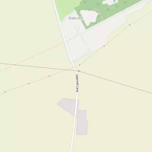
⇅
Location Summary
- Eldernell is located in Cambridgeshire
- Administrative Area: Cambridgeshire
- Ceremonial County: Cambridgeshire
- Historic County: Cambridgeshire
- Region & Country: Eastern / England
⇅
Nearby Towns & Cities
- Whittlesey 5.0 km WSW
- March 10.0 km ESE
- Ramsey 13.8 km SSW
- Crowland 14.1 km NNW
- Peterborough 12.6 km W


⇅
Nearby Localities
- CoatesVillage 1.5 km WSW
- TurvesVillage 2.4 km SE
- EastreaVillage 2.9 km WSW
- Bassenhally FieldDistrict 4.0 km W
- Inham's EndDistrict 4.9 km WSW
- BriggateDistrict 5.5 km WSW
- Church FieldDistrict 6.6 km W
- Thorney Village 6.8 km NNW
- WestryVillage 7.8 km E
- King's DykeVillage 8.3 km WSW


⇅
Smaller Settlements
- The Lipneas 508 m SSW
- Oldeamere 2.0 km SSW
- North Side 4.5 km WNW
- Thorney Toll 6.0 km NNE
- Reach 6.4 km WSW
- Rogues Alley 8.8 km NE
- Chainbridge 10.3 km E
- Swingbrow 11.6 km SSE
- Hook 12.1 km ESE
- Ramsey Hollow 12.3 km S


⇅
Beaches
- Snettisham Beach47.0 km NE
- Snettisham Scalp47.7 km NE
- Stubborn Sand50.4 km NE
⇅
Parks
- Butt Green42.0 km SSE
- Empty Common43.8 km SSE
- Larks Green16.5 km WNW
- New Pasture27.6 km SSW
⇅
Woods
- Hill Plantation5.1 km NW
- Lord's Holt1.1 km NW
- Old Wryde Bank Holt6.4 km N
- Wryde Plantation6.8 km NNE


⇅
Hills
- Dean Hill15.6 km SSE
- Ferry Hill16.0 km SSE
- Honey Hill15.1 km SE
- Horsey Hill9.9 km WSW
⇅
Lakes
- Ashley Pool6.1 km NNW
- Gildenburgh Water3.8 km WSW
- Knarr Lake4.1 km NE
- Three Corner Cut9.7 km E
⇅
Waterfalls
- Neptune Waterfall104.8 km SSW
- The Cascade88.8 km SW
- Tower Waterfall104.7 km SSW

⇅
Headlands
- North Weir Point118.6 km ESE
- Tripcock Ness118.3 km S
⇅
Islands
- Holt Island27.1 km S
- Park Island17.2 km NW
⇅
Wetlands
- Gault Hole21.4 km SSE
- Horse Marsh23.7 km WNW
- East Marsh24.4 km NE
⇅
Health Services
- Doddington Community HospitalHospital 10.8 km SE
- Peterborough City HospitalHospital 15.2 km W
- The Gables Care HomeMedical 2.3 km WSW
- Cedar CourtMedical 4.8 km WSW
⇅
Education
- Coates Primary SchoolSchool 1.3 km WSW
- Alderman Jacobs Primary SchoolSchool 4.3 km WSW
- University of LincolnUniversity 27.2 km N
⇅
Railway Stations
- Whittlesea4.7 km WSW
- March10.0 km E
⇅
Bus Stations
- Spalding Bus Station25.5 km NNW
- Huntingdon Bus Station28.1 km SSW
⇅
Coach Stations
- Milton Keynes Coachway71.9 km SW
- Stansted Airport Coach Station78.7 km SSE
⇅
Ferry Terminals
- Normanton Chain Ferry83.4 km WNW
- Reedham Ferry North108.6 km E
⇅
Airports
- Cambridge City Airport43.6 km SSE
- Stansted Airport78.5 km SSE
⇅
Airfields
- Chatteris Airfield13.3 km SE
- Upwood Airfield15.9 km SSW
⇅
Heliports
- Magpas Air Ambulance25.0 km SSW
- The Egerton-Smith Centre43.1 km SSE
⇅
Harbours
- Brancaster Harbour66.4 km NE
- Farndon Harbour76.7 km NW