
Hampton Poyle
About Hampton Poyle
Hampton Poyle, in Oxfordshire, has Bletchingdon around 2.2 km North, Thrupp only 2.2 km West, Church End just 2.4 km North North East and Shipton-on-Cherwell only 2.7 km West North West. Other rural communities nearby include Heathfield Village, Gosford, Oxford Spires Park, Enslow and Water Eaton.
You may find extra local information by clicking a nearby place.
This information is based on OS, ONS and OSM data released under open licence.
⇅
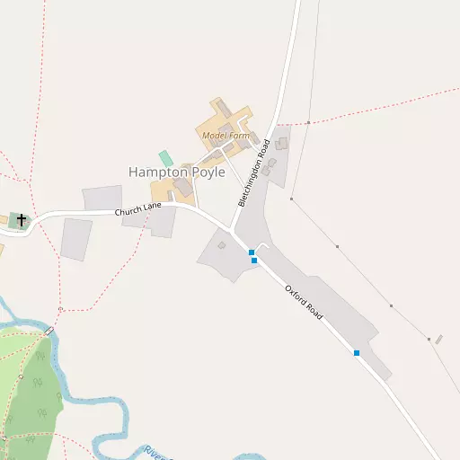
Local Map
⇅
Location Summary
- Hampton Poyle is located in Oxfordshire
- Administrative Area: Oxfordshire
- Ceremonial County: Oxfordshire
- Historic County: Oxfordshire
- Region & Country: South East / England
⇅
Nearby Towns & Cities
⇅
Nearby Localities
⇅
Smaller Settlements
⇅
Beaches
- Cotswold Hills Beach
- Goatee Beach
- Weston Point
⇅
Parks
- Loop Meadow
- Merton Field
- The Green
- The Green
⇅
Woods
- Busby's Spinney
- Hampton Gorse
- Knapp's Acre
- Madam Hindes's Spinney
⇅
Hills
- Begbroke Hill
- Drun's Hill
- Peartree Hill
- Pound Hill
⇅
Lakes
- Duke's Cut
- Mill Stream
- Otter's Ponds
- Thrupp Wide
⇅
Waterfalls
- Neptune Waterfall
- The Cascade
- Tower Waterfall
⇅
Headlands
- Beachley Point
- Botany Bay Point
⇅
Islands
- Fiddler's Island
- Isle of Rhea
⇅
Wetlands
- Ranger's Marsh
- Brassey
- Wanborough Marsh
⇅
Health Services
- John Radcliffe Hospital
- The Manor Hospital
- Lincroft Meadow Care Home
- Floryn House Care Home
⇅
Education
- North Kidlington Primary School
- Bletchingdon Parochial Church of England Primary School
- Oxford University Ewert House
⇅
Train Stations
- Islip
- Oxford Parkway
⇅
Bus Stations
- Aylesbury Bus Station
- Bletchley Bus Station
⇅
Coach Stations
- High Wycombe Coachway
- Milton Keynes Coachway
⇅
Ferry Terminals
- Hampton Ferry Boathouse
- Hammerton's Pier
⇅
Airports
- London Oxford Airport
- Wycombe Air Park
⇅
Airfields
- Weston-on-the-Green Airfield
⇅
Heliports
- The London Heliport
⇅
Harbours
- Chelsea Harbour
- Lydney Harbour