
Hareby
About Hareby
Hareby, in Lincolnshire, has Old Bolingbroke just 1.7 km East South East, East Kirkby situated 3.5 km South, West Keal only 3.6 km South East and Hagworthingham around 4.0 km North North East. Other countryside settlements include Asgarby, Lusby, Miningsby, Mavis Enderby and Hameringham.
You may find out something new or interesting if you click a nearby place to see more local information.
The details shown here use OS, ONS and OSM data provided under open licence.
⇅
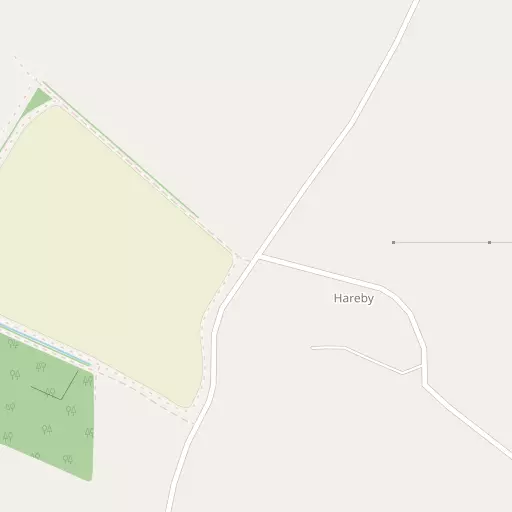
Local Map
⇅
Location Summary
- Hareby is located in Lincolnshire
- Administrative Area: Lincolnshire
- Ceremonial County: Lincolnshire
- Historic County: Lincolnshire
- Region & Country: East Midlands / England
⇅
Nearby Towns & Cities
⇅
Nearby Localities
⇅
Smaller Settlements
⇅
Beaches
- Chapel St Leonards Beach
- Ingoldmells Beach
- Skegness Beach
⇅
Parks
- Bulwell Forest
- Burgage Green
- Larks Green
- Wilsford Warren
⇅
Woods
- Cawkses Plantation
- Crow Rookery
- Rockcliffe Holt
- Willow Holt
⇅
Hills
- Dewy Hill
- Horncastle Hill
- Hungry Hill
- Kirkby Hill
⇅
Lakes
- Black Wong Water
- Kangaroo Pond
- The Canal
- The Moat
⇅
Waterfalls
- Birch Fall
- Kinder Downfall
- Lumb Fall
⇅
Headlands
- Flamborough Head
- Red Cliff Point
⇅
Islands
- Branston Island
- Outer Trial Bank
⇅
Wetlands
- Orby Marsh
- Friskney Marsh
- Burgh Marsh
⇅
Health Services
- Pilgrim Hospital
- Boston West Hospital
- The Old Hall
- South Wold Nursing Home
⇅
Education
- The Toynton Campus College of Further Education
- The Eresby School
- Boston College
⇅
Railway Stations
- Thorpe Culvert
- Wainfleet
⇅
Bus Stations
- Louth Bus Station
- Lincoln Central Bus Station
⇅
Coach Stations
- Chesterfield Coach Station
- Meadowhall Interchange
⇅
Ferry Terminals
- Hull Ferry Port
- Normanton Chain Ferry
⇅
Airports
- Wickenby Aerodrome
- Humberside Airport
⇅
Airfields
- RAF Coningsby
- Croft
⇅
Heliports
- Lincs and Notts Air Ambulance HQ
- Nottingham Heliport
⇅
Harbours
- Brancaster Harbour
- South Killingholme Haven