
Horwood
About Horwood
Horwood is in Devon. Among the nearby places are Lower Lovacott just 1.8 km East, Newton Tracey just 2.5 km East, Westleigh around 3.4 km West North West and Instow only 4.0 km North West. Other countryside places nearby include Higher Lovacott, Eastleigh, Lovacott Green, Woodtown and Stony Cross.
You may find extra local information by clicking a nearby place.
The details shown here use OS, ONS and OSM data provided under open licence.
⇅
Local Map
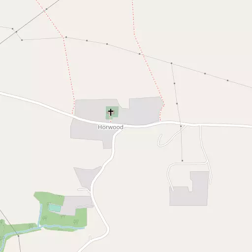
⇅
Location Summary
- Horwood is located in Devon
- Administrative Area: Devon
- Ceremonial County: Devon
- Historic County: Devon
- Region & Country: South West / England
⇅
Nearby Towns & Cities
⇅
Nearby Localities
⇅
Smaller Settlements
⇅
Beaches
- Horsey Ridge
- Instow Beach
- Westward Ho! Beach
⇅
Parks
- Pennsylvania Park
- Pleasure Grounds
- Summerleaze Down
- The Warren
⇅
Woods
- Blackdown Wood
- Heal Grove
- Higher Broomfield Coppice
- Lower Broomfield Coppice
⇅
Hills
- Ball Hill
- Staddon Hill
- Tent Hill
- The Hill
⇅
Lakes
- Darracot Reservoir
- Gammaton Reservoirs
- Jennetts Reservoir
- Saltpill Duck Pond
⇅
Waterfalls
- Becka Falls
- Horseshoe Falls
- White Lady Waterfall
⇅
Headlands
- Baggy Point
- Cockington Head
⇅
Islands
- Horsey Island
- Sexton's Burrow
⇅
Wetlands
- Pillhead Marsh
- Newquay Ridge
- Snuffy Corner
⇅
Health Services
- Bideford Community Hospital
- Torrington Community Hospital
- Fremington Manor
- The Warren
⇅
Education
- Horwood and Newton Tracey Community Primary School
- Instow Community Primary School
- Petroc
⇅
Train Stations
- Barnstaple
- Chapelton
⇅
Bus Stations
- Barnstaple Bus Station
- Exeter Bus Station
⇅
Coach Stations
- Plymouth Coach Station
- Torquay Coach Station
⇅
Ferry Terminals
- Starcross Pier
- Torpoint Ferry Terminal
⇅
Airports
- Exeter Airport
- Swansea Airport
⇅
Airfields
- Belle Vue Airfield
⇅
Heliports
- Lake Heliport
⇅
Harbours
- Lynmouth Harbour
- Watchet Harbour