
Mongleath, Falmouth
About Mongleath
Mongleath sits 580 m SW of Falmouth in Cornwall. Local places nearby include Budock Water lying 580 m South West, Boslowick just 992 m South East, Swanvale situated 1.0 km South East and Golden Bank situated 1.7 km South South East. Other local places include Bissom, Lamanva, Antron, Trenoweth and Lower Treluswell.
You may find out something new or interesting if you click a nearby place to see more local information.
These details are compiled from OS, ONS and OSM data released under open licence.
⇅
Local Map
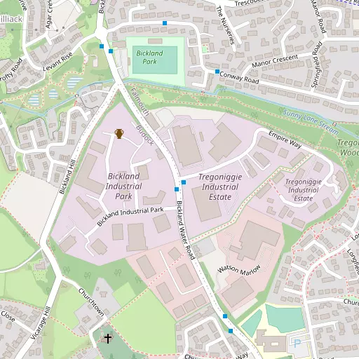
⇅
Location Summary
- Mongleath is a neighbourhood in Falmouth
- Administrative Area: Cornwall
- Ceremonial County: Cornwall
- Historic County: Cornwall
- Region & Country: South West / England
⇅
Nearby Towns & Cities
⇅
Nearby Localities
⇅
Smaller Settlements
⇅
Beaches
- Gyllyngvase Beach
- Swanpool Beach
- Well Beach
⇅
Parks
- Lanner Moor
- Palm Cross Green
- Summerleaze Down
- Trungle Moor
⇅
Woods
- Ash Wood
- Bagatelle Plantation
- Hoe Wood
- Kilnquay Wood
⇅
Hills
- Brill Hill
- Carnmenellis
- Roskruge Beacon
- Tubbon Hill
⇅
Lakes
- Argal Reservoir
- College Reservoir
- Stithians Reservoir
- Swan Pool
⇅
Waterfalls
- Golitha Falls
- White Lady Waterfall
- Yealm Steps
⇅
Headlands
- Newporth Head
- Pennance Point
⇅
Islands
- Henscath
- The Island
⇅
Wetlands
- Weir Point
- Mawnan Shear
- Amsterdam Point
⇅
Health Services
- Falmouth Hospital
- Treliske Hospital
- Trevern
- King Charles Court Nursing Home
⇅
Education
- St Francis Church of England Primary School
- Falmouth School
- Falmouth Marine School
⇅
Train Stations
- Penmere
- Penryn
⇅
Bus Stations
- Truro Bus Station
- Camborne Bus Station
⇅
Coach Stations
- Plymouth Coach Station
- Torquay Coach Station
⇅
Ferry Terminals
- Trelissick
- Philleigh
⇅
Airports
- Newquay Cornwall Airport
- Land's End Airport
⇅
Airfields
- Royal Navy Air Station Culdrose
⇅
Heliports
- Penzance Heliport
⇅
Harbours
- South Harbour
- Penryn Harbour