
Moorhouses
About Moorhouses
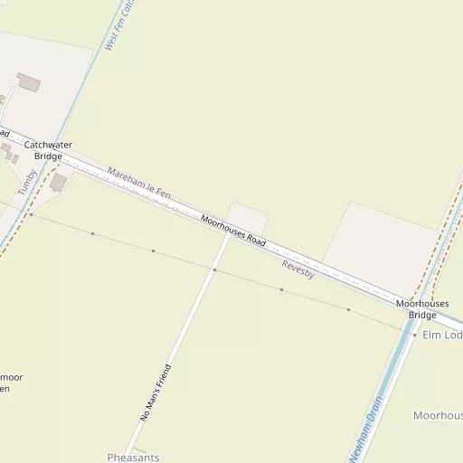
Moorhouses sits within Lincolnshire. Nearby places include Tumby Woodside situated 538 m West North West, New Bolingbroke just 3.1 km East, Mareham le Fen situated 3.8 km North, New York lying 3.9 km South West and Revesby only 4.5 km North North East. Other rural areas close to here include Sandy Bank, Moor Side, Reedham and Bunker's Hill.
You may find extra local information by clicking a nearby place.
All information is drawn from OS, ONS and OSM under open licence, reflecting the best available public data.
⇅
Local Map
⇅
Location Summary
- Moorhouses is located in Lincolnshire
- Administrative Area: Lincolnshire
- Ceremonial County: Lincolnshire
- Historic County: Lincolnshire
- Region & Country: East Midlands / England
⇅
Nearby Towns & Cities
⇅
Nearby Localities
⇅
Smaller Settlements
⇅
Beaches
- Chapel St Leonards Beach
- Ingoldmells Beach
- Skegness Beach
⇅
Parks
- Bulwell Forest
- Burgage Green
- Larks Green
- Wilsford Warren
⇅
Woods
- Far Holt
- L Holt
- Little Birkwood Wood
- Middle Holt
⇅
Hills
- Corbet Hill
- Fox Hill
- Hameringham Hill
- Midden Hill
⇅
Lakes
- Black Wong Water
- Kangaroo Pond
- Old Mill Pond
- Oxbow Lake
⇅
Waterfalls
- Kinder Downfall
- Lumb Fall
- The Cascade
⇅
Headlands
- Flamborough Head
- Red Cliff Point
⇅
Islands
- Branston Island
- Outer Trial Bank
⇅
Wetlands
- Wrangle Marsh
- Toft Marsh
- Wyberton Marsh
⇅
Health Services
- Pilgrim Hospital
- Boston West Hospital
- Willoughby Grange
- The Georgians Nursing Home
⇅
Education
- Mareham le Fen Church of England Primary School
- New York Primary School
- Boston College
⇅
Railway Stations
- Hubberts Bridge
- Boston
⇅
Bus Stations
- Louth Bus Station
- Lincoln Central Bus Station
⇅
Coach Stations
- Chesterfield Coach Station
- Meadowhall Interchange
⇅
Ferry Terminals
- Hull Ferry Port
- Normanton Chain Ferry
⇅
Airports
- Wickenby Aerodrome
- Humberside Airport
⇅
Airfields
- RAF Coningsby
- Boston Aerodrome
⇅
Heliports
- Lincs and Notts Air Ambulance HQ
- Nottingham Heliport
⇅
Harbours
- Farndon Harbour
- Brancaster Harbour