
Oakford
About Oakford
Oakford is in Devon. Nearby places include North Molton lying 1.0 km East, Brayford lying 6.4 km North West, Bishop's Nympton just 6.9 km South South East and West Buckland around 7.3 km West. Other rural areas close to here include Heasley Mill, North Heasley, South Radworthy, Bentwitchen and Newtown.
You may find extra local information by clicking a nearby place.
The information presented here is derived from OS, ONS and OSM under open licence.
⇅
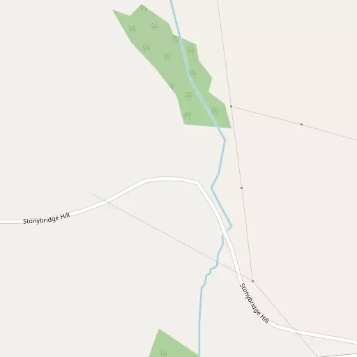
Local Map
⇅
Location Summary
- Oakford is located in Devon
- Administrative Area: Devon
- Ceremonial County: Devon
- Historic County: Devon
- Region & Country: South West / England
⇅
Nearby Towns & Cities
- South Molton 4.3 km SSW
- Barnstaple 17.3 km W
- Dulverton 18.6 km E
- Lynton 19.4 km N
- Exeter 41.9 km SSE


⇅
Nearby Localities
- North MoltonVillage 1.0 km E
- BrayfordVillage 6.4 km NW
- Bishop's NymptonVillage 6.9 km SSE
- West BucklandVillage 7.3 km W
- George NymptonVillage 7.4 km SSW
- MollandVillage 7.6 km E
- Rose AshVillage 10.2 km SE
- ChittlehamptonVillage 10.3 km WSW
- SimonsbathVillage 10.4 km NNE
- MeshawVillage 10.7 km SSE


⇅
Smaller Settlements
- Heasley Mill 2.4 km NNE
- North Heasley 3.1 km N
- South Radworthy 3.3 km NE
- Bentwitchen 4.0 km N
- Newtown 4.4 km NW
- North Radworthy 4.8 km NNE
- Hill 5.1 km SW
- Charles 5.1 km NW
- East Buckland 5.6 km WNW
- High Bray 5.7 km NW


⇅
Other places with this name
- Oakford, Devon20.1 km ESE
- Oakford, Sir Ceredigion - Ceredigion 130.9 km NNW


⇅
Beaches
- Eastern Beach19.8 km N
- Western Beach19.9 km N
- Woodybay Beach19.6 km NNW
⇅
Parks
- Lock's Common48.2 km N
- Pennsylvania Park40.8 km SSE
- Pleasure Grounds37.8 km SSW
- The Warren25.3 km NW
⇅
Woods
- Oakford Copse408 m N
- Parker's Wood686 m SSW
- Portfolken Wood819 m S
- Westpark Wood840 m SSW

⇅
Hills
- Bampfylde Hill1.6 km N
- Blastridge Hill5.7 km S
- North Molton Ridge5.6 km ENE
- Steep Head2.4 km WNW

⇅
Lakes
- Balman's Pool10.5 km SW
- Holywell Reservoir3.5 km ENE
- Pinkworthy Pond12.3 km N
- Simonsbath Pool10.0 km NNE
⇅
Waterfalls
- Becka Falls50.0 km S
- Horseshoe Falls59.5 km S
- White Lady Waterfall51.7 km SSW
⇅
Headlands
- Duty Point19.9 km NNW
- North Cleave20.7 km NNW
⇅
Islands
- Burrow Nose25.5 km NW
- Horsey Island25.3 km W
⇅
Wetlands
- Trick's Marsh6.2 km S
- Barton Marsh13.7 km ESE
- Long Marsh16.4 km S
⇅
Health Services
- South Molton Community HospitalHospital 4.5 km SSW
- North Devon District HospitalHospital 17.0 km WNW
- Eastleigh Care HomeMedical 4.5 km SSW
- Swimbridge House Nursing HomeMedical 10.8 km W
⇅
Education
- North Molton Primary SchoolSchool 601 m SE
- South Molton Community Primary SchoolSchool 4.2 km SSW
- PetrocUniversity 17.8 km W
⇅
Railway Stations
- Umberleigh13.5 km WSW
- Portsmouth Arms14.5 km SW
⇅
Bus Stations
- Barnstaple Bus Station17.1 km W
- Exeter Bus Station41.9 km SSE
⇅
Coach Stations
- Torquay Coach Station67.5 km SSE
- Plymouth Coach Station79.3 km SSW
⇅
Ferry Terminals
- Starcross Pier54.2 km SSE
- Greenway Quay76.4 km SSE
⇅
Airports
- Exeter Airport45.4 km SE
- Cardiff Airport50.3 km NE
⇅
Airfields
- Eaglescott Airfield18.6 km SW
- Eggesford Airfield21.2 km S
⇅
Heliports
- Lake Heliport30.6 km W
- Hartland Heliport49.3 km W
⇅
Harbours
- Lynmouth Harbour19.7 km N
- Watchet Harbour36.8 km ENE