
Seadyke
About Seadyke
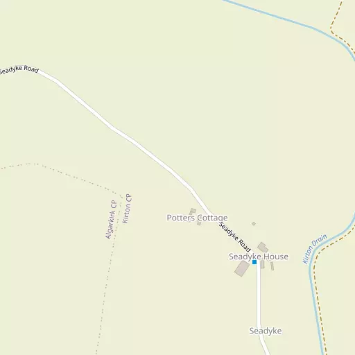
Seadyke, in Lincolnshire, has Kirton around 2.8 km North North West, Fosdyke just 3.1 km South South West, Algarkirk just 3.2 km West South West, Frampton around 3.7 km North North West and Sutterton only 3.8 km West. Other rural communities nearby include Skeldyke, Sandholme, Fosdyke Bridge and Burtoft.
You might discover something new by clicking a nearby place for more local details.
Data shown here comes from OS, ONS and OSM under open licence, using the latest public sources available.
⇅
Local Map
⇅
Location Summary
- Seadyke is located in Lincolnshire
- Administrative Area: Lincolnshire
- Ceremonial County: Lincolnshire
- Historic County: Lincolnshire
- Region & Country: East Midlands / England
⇅
Nearby Towns & Cities
- Boston
- Spalding
- Long Sutton
- Heckington
- Peterborough
⇅
Nearby Localities
⇅
Smaller Settlements
⇅
Beaches
- Snettisham Beach
- Snettisham Scalp
- Stubborn Sand
⇅
Parks
- Burgage Green
- Larks Green
- New Pasture
- Wilsford Warren
⇅
Woods
- Hall Weir
- Jenny's Wood
- The Spinney
- Westgate Wood
⇅
Hills
- Festival Hill
- Gorse Hill
- Mill Hill
- Neatfold Hill
⇅
Lakes
- Hawk Lake
- Kestral Lake
- Kingfisher Lake
- Wash Gould
⇅
Waterfalls
- Kinder Downfall
- The Cascade
- Tower Waterfall
⇅
Headlands
- Flamborough Head
- North Weir Point
⇅
Islands
- Inner Tidal Bank
- Outer Trial Bank
⇅
Wetlands
- Earl Marsh
- Kirton Marsh
- New Marsh
⇅
Health Services
- Boston West Hospital
- Pilgrim Hospital
- Meadows Edge Nursing Home
- The Haven
⇅
Education
- Middlecott School
- Kirton Primary School
- University of Lincoln
⇅
Railway Stations
- Boston
- Hubberts Bridge
⇅
Bus Stations
- Spalding Bus Station
- Bourne Bus Station
⇅
Coach Stations
- Chesterfield Coach Station
- Milton Keynes Coachway
⇅
Ferry Terminals
- Normanton Chain Ferry
- Hull Ferry Port
⇅
Airports
- Wickenby Aerodrome
- Nottingham City Airport
⇅
Airfields
- Boston Aerodrome
- Wingland Airfield
⇅
Heliports
- Lincs and Notts Air Ambulance HQ
- Magpas Air Ambulance
⇅
Harbours
- Brancaster Harbour
- Farndon Harbour