
Tresevern Croft
About Tresevern Croft
Tresevern Croft, in Cornwall, has Hendra around 1.0 km East, Stithians around 1.4 km East, Penmarth situated 2.2 km South West and Carnkie lying 2.9 km South. Other countryside settlements include Penhalurick, Polmarth, Treviskey, Herniss and Trevarth.
You may find extra local information by clicking a nearby place.
Information is sourced from OS, ONS and OSM under open licence, using publicly available datasets.
⇅
Local Map
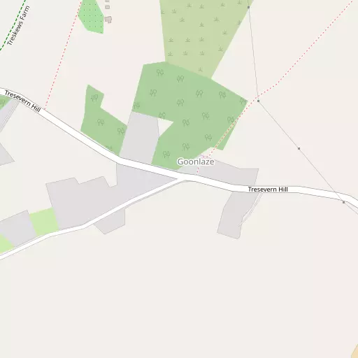
⇅
Location Summary
- Tresevern Croft is located in Cornwall
- Administrative Area: Cornwall
- Ceremonial County: Cornwall
- Historic County: Cornwall
- Region & Country: South West / England
⇅
Nearby Towns & Cities


⇅
Nearby Localities
- HendraVillage 1.0 km E
- StithiansVillage 1.4 km E
- PenmarthVillage 2.2 km SW
- CarnkieVillage 2.9 km S
- LannerVillage 2.9 km N
- Rame CrossVillage 3.2 km SSE
- Four LanesVillage 3.2 km WNW
- GwennapVillage 3.6 km NNE
- LongdownsVillage 3.7 km SE
- PonsanoothVillage 4.0 km ENE


⇅
Smaller Settlements
- Penhalurick 1.1 km NW
- Polmarth 1.9 km SW
- Treviskey 2.9 km NNE
- Herniss 3.2 km SSE
- Trevarth 3.6 km NNE
- Halwin 3.7 km SSW
- Halvosso 4.4 km SSE
- Sparry Bottom 4.5 km NNE
- Burras 4.5 km WSW
- Bolenowe 4.7 km W


⇅
Beaches
- Maenporth10.3 km SE
- Swanpool Beach10.2 km ESE
- Well Beach9.5 km ESE
⇅
Parks
- Lanner Moor2.9 km N
- Palm Cross Green94.6 km ENE
- Summerleaze Down85.1 km NNE
- Trungle Moor27.6 km WSW
⇅
Woods
- Cot Wood3.6 km E
- Kennall Wood3.2 km ENE
- Roches Wood3.1 km E
- Trevales Wood3.0 km ESE
⇅
Hills
- Carn Brea5.1 km NW
- Carn Marth3.8 km N
- Carnmenellis2.4 km WSW
- Tubbon Hill2.4 km ENE
⇅
Lakes
- Boswyn Reservoir6.0 km W
- House of Water5.1 km NW
- Stithians Reservoir803 m SW
- Wheal Maid Tailings6.0 km NNE
⇅
Waterfalls
- Golitha Falls59.4 km NE
- White Lady Waterfall90.7 km ENE
- Yealm Steps93.5 km ENE
⇅
Headlands
- Newporth Head10.6 km SE
- Restronguet Point10.0 km E
⇅
Islands
- Godrevy Island15.6 km WNW
- Henscath19.8 km SSW
⇅
Wetlands
- Weir Point10.0 km E
- Groyne Point10.9 km SSE
- Pill Point11.0 km E
⇅
Health Services
- Camborne Redruth Community HospitalHospital 5.6 km NW
- Falmouth HospitalHospital 8.8 km ESE
- Trefula House Nursing HomeMedical 5.4 km N
- The GreenMedical 5.8 km NNW
⇅
Education
- Stithians Community Primary SchoolSchool 1.3 km E
- Lanner Primary SchoolSchool 2.8 km N
- Penryn CampusUniversity 5.7 km ESE
⇅
Railway Stations
- Redruth5.2 km NNW
- Penryn6.4 km ESE
⇅
Bus Stations
- Camborne Bus Station7.6 km WNW
- Truro Bus Station13.3 km NE
⇅
Coach Stations
- Plymouth Coach Station77.6 km ENE
- Torquay Coach Station122.1 km ENE
⇅
Ferry Terminals
- Trelissick12.4 km ENE
- Philleigh12.6 km ENE
⇅
Airports
- Newquay Cornwall Airport30.8 km NNE
- Land's End Airport35.2 km WSW
⇅
Airfields
- Truro Airfield10.6 km NNE
- Royal Navy Air Station Culdrose12.5 km SSW
⇅
Heliports
- Penzance Heliport23.4 km WSW
- Cornwall Air Ambulance Station31.0 km NNE
⇅
Harbours
- South Harbour7.5 km ESE
- Penryn Harbour8.2 km ESE