
Appietown
About Appietown
Appietown sits on Mainland, within Orkney Islands. Nearby places include Brough only 709 m North North West, Corrigall situated 1.4 km North North East, Corston situated 1.5 km North and Bimbister situated 2.0 km South East. Other rural settlements include Harray, Netherbrough, Russland, Mirbister and Huntscarth.
You might learn something new by clicking through to a nearby place.
The place data here is drawn from OS, ONS and OSM under open licence.
⇅
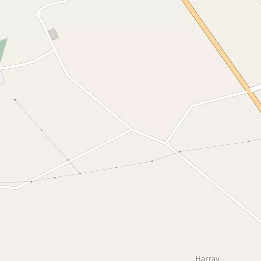
Local Map
⇅
Location Summary
- Appietown is located in Orkney Islands
- Administrative Area: Orkney Islands
- Ceremonial County: Orkney Islands
- Historic County: Orkney Islands
- Region & Country: Scotland / Scotland
- Island: Mainland
⇅
Nearby Towns & Cities
⇅
Nearby Localities
⇅
Smaller Settlements
⇅
Beaches
- Sands of Congesquoy
- Sands of Fidgeon
- The Leeans
⇅
Parks
- Ferry Muir
- Fountain Green
- Kinnoull Hill Woodland Park
- West Green
⇅
Woods
- Heathshield Wood
- Hoy Forest
- Stroupster Forest
- Tothel Gill Forest
⇅
Hills
- Burrien Hill
- Hindera Fiold
- Kame of Corrigall
- Staney Hill
⇅
Lakes
- Loch of Bosquoy
- Loch of Harray
- Parro Shun
- The Shunan
⇅
Waterfalls
- An t-Eas
- Eas Gluta
- Easan na Buaile
⇅
Headlands
- Chapel Point
- Point of Backaquoy
⇅
Islands
- Ess Holm
- Holm of Kirkness
⇅
Wetlands
- Bog of Surtan
- Thickbigging
- Skerries of Coubister
⇅
Health Services
- The Balfour
- Dunbar Hospital
- Pentland View Nursing Home
- Seaview House
⇅
Education
- Dounby Primary School
- Firth Primary School
- University of the Highlands and Islands
⇅
Train Stations
- Thurso
- Georgemas Junction
⇅
Bus Stations
- Kirkwall Bus Station
- Elgin Bus Station
⇅
Coach Stations
- Newcastle Coach Station
- Gateshead Interchange
⇅
Ferry Terminals
- Tingwall Ferry Terminal
- Stromness Ferry Terminal
⇅
Airports
- Kirkwall Airport
- London Airport
⇅
Airfields
- Lamb Holm International
⇅
Heliports
- Glasgow City Heliport
⇅
Harbours
- Stromness Harbour
- Kirkwall Harbour