
Clampits
About Clampits
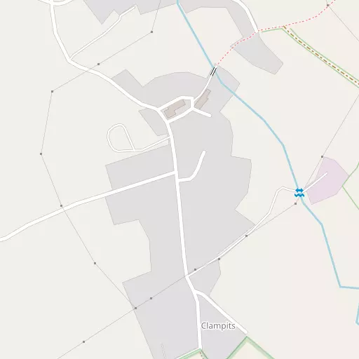
Clampits, in Cornwall, has Metherell situated 357 m North North East, Norris Green just 608 m North East, Harrowbarrow lying 1.2 km West North West and Albaston lying 1.7 km North East. Other rural localities include Newton, Cross, Bohetherick, Ashton and Okeltor.
You might learn something new by clicking through to a nearby place.
This page uses OS, ONS and OSM data supplied under open licence.
⇅
Local Map
⇅
Location Summary
- Clampits is located in Cornwall
- Administrative Area: Cornwall
- Ceremonial County: Cornwall
- Historic County: Cornwall
- Region & Country: South West / England
⇅
Nearby Towns & Cities
⇅
Nearby Localities
⇅
Smaller Settlements
⇅
Beaches
- Beaks Horn
- Finnygook Beach
- Long Sands
⇅
Parks
- Palm Cross Green
- Pleasure Grounds
- Summerleaze Down
- The Lawn
⇅
Woods
- Comfort Wood
- Cotehele Wood
- Nanie Rowe's Wood
- Timber Wood
⇅
Hills
- Greenhill
- Hanging Cliff
- Kit Hill
- Mount Ararat
⇅
Lakes
- Double Waters
- Inny Foot
- Inny Ham Mere
- Spring Pond
⇅
Waterfalls
- Golitha Falls
- White Lady Waterfall
- Yealm Steps
⇅
Headlands
- Pennard's Point
- Weir Point
⇅
Islands
- Drake's Island
- Erth Island
⇅
Wetlands
- Marraborough Quay
- The Marsh
- The Marsh
⇅
Health Services
- Tavistock General Hospital
- Royal Eye Infirmary
- Abbotsfield Hall Residential Home
- Chollacott Nursing Home
⇅
Education
- Harrowbarrow School
- St Dominic Church of England Primary School
- University of St Mark and St John
⇅
Train Stations
- Gunnislake
- Calstock
⇅
Bus Stations
- Kingsbridge Bus Station
- Exeter Bus Station
⇅
Coach Stations
- Plymouth Coach Station
- Torquay Coach Station
⇅
Ferry Terminals
- Torpoint Ferry Terminal
- Plymouth Stonehouse
⇅
Airports
- Plymouth City Airport
- Newquay Cornwall Airport
⇅
Airfields
- Bodmin Airfield
⇅
Heliports
- Cornwall Air Ambulance Station
⇅
Harbours
- Weston Mill Lake
- Sutton Harbour