
Fairy Cross
About Fairy Cross
Fairy Cross, in Cornwall, has Bridgend situated 3.0 km South South West, Lerryn only 5.4 km South South East, East Taphouse around 5.6 km East North East, Mount situated 6.1 km North North East and Cardinham lying 6.6 km North. Other countryside settlements include Bofarnel, Boconnoc, Downend and West Taphouse.
You might learn something new by clicking through to a nearby place.
This information is based on OS, ONS and OSM data released under open licence.
⇅
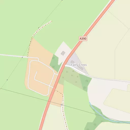
Local Map
⇅
Location Summary
- Fairy Cross is located in Cornwall
- Administrative Area: Cornwall
- Ceremonial County: Cornwall
- Historic County: Cornwall
- Region & Country: South West / England
⇅
Nearby Towns & Cities
⇅
Nearby Localities
⇅
Smaller Settlements
⇅
Other places with this name
⇅
Beaches
- Booley Beach
- Par Sands
- Polkerris Beach
⇅
Parks
- Lanner Moor
- Palm Cross Green
- Pleasure Grounds
- Summerleaze Down
⇅
Woods
- Bosmaugan Wood
- Ironmine Plantation
- Roughparks Plantation
- Warren Plantation
⇅
Hills
- Beacon Hill
- Druid's Hill
- Helman Tor
- White Hill
⇅
Lakes
- Higher Penventinue Reservoir
- Mill Pond
- Shillamill Lakes
- The Lake
⇅
Waterfalls
- Golitha Falls
- White Lady Waterfall
- Yealm Steps
⇅
Headlands
- St Catherine's Point
- St Saviour's Point
⇅
Islands
- Gull Island
- St George's Island
⇅
Wetlands
- St Winnow Point
- Hay Point
- Dewey Marsh
⇅
Health Services
- Bodmin Community Hospital
- Fowey Hospital
- Meadowbrook House
- Cowbridge Nursing Home
⇅
Education
- St Winnow Church of England School
- Lostwithiel School
- Cornwall College
⇅
Train Stations
- Bodmin Parkway
- Lostwithiel
⇅
Bus Stations
- Newquay Bus Station
- Truro Bus Station
⇅
Coach Stations
- Plymouth Coach Station
- Torquay Coach Station
⇅
Ferry Terminals
- Caffa Mill Slipway
- Bodinnick
⇅
Airports
- Newquay Cornwall Airport
- Plymouth City Airport
⇅
Airfields
- Bodmin Airfield
⇅
Heliports
- Cornwall Air Ambulance Station
⇅
Harbours
- Par Harbour
- Fowey Harbour