
Griffitts Yard, Chesham
About Griffitts Yard
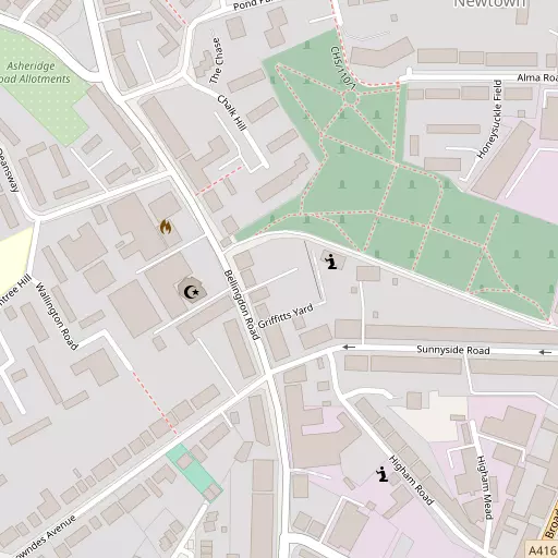
Griffitts Yard is 76 m SE from Chesham in the county of Buckinghamshire. Nearby places include Newtown around 76 m South East, Hilltop situated 956 m East North East, Codmore only 1.2 km East, Pednormead End just 1.3 km South South West and Great Hivings lying 1.4 km North North West. Other places close to here include The Broadway, Hyde End, Heath End and Rossway Park.
You may find extra local information by clicking a nearby place.
These details are compiled from OS, ONS and OSM data released under open licence.
⇅
Local Map
⇅
Location Summary
- Griffitts Yard is a neighbourhood in Chesham
- Administrative Area: Buckinghamshire
- Ceremonial County: Buckinghamshire
- Historic County: Buckinghamshire
- Region & Country: South East / England
⇅
Nearby Towns & Cities
⇅
Nearby Localities
⇅
Smaller Settlements
⇅
Beaches
- Bell Wharf Beach
- Chapman Sands
- Hadleigh Ray
⇅
Parks
- Balderson's Moor
- Bell Meadow
- Chaulden Meadow
- Seabrook Meadow
⇅
Woods
- Captain's Wood
- Lycrome Wood
- Nalders Wood
- Spring Wood
⇅
Hills
- Bishop's Hill
- Great Friar's Hill
- Ley Hill
- Maple Hill
⇅
Lakes
- Bury Pond
- Kingfisher Lake
- Rushmoor Pond
- Skottowe's Pond
⇅
Waterfalls
- Neptune Waterfall
- The Cascade
- Tower Waterfall
⇅
Headlands
- Botany Bay Point
- Tripcock Ness
⇅
Islands
- Bradbury's Island
- Heron Island
⇅
Wetlands
- Cock Marsh
- Ickenham Marsh
- Wargrave Marsh
⇅
Health Services
- Amersham Hospital
- The Chiltern Hospital
- Rayners Nursing Home
- Kilfillan House
⇅
Education
- Elmtree School and Nursery
- Newtown Infant School and Nursery
- National Film and Television School
⇅
Train Stations
- Chesham
- Amersham
⇅
Bus Stations
- High Wycombe Bus Station
- Aylesbury Bus Station
⇅
Coach Stations
- High Wycombe Coachway
- Luton Airport Bus and Coach Station
⇅
Ferry Terminals
- Hammerton's Pier
- Hampton Ferry Boathouse
⇅
Airports
- Wycombe Air Park
- London Elstree Aerodrome
⇅
Airfields
- Bovingdon Airfield
⇅
Heliports
- The London Heliport
⇅
Harbours
- Chelsea Harbour
- Hendy's Quay