
Honeydon
About Honeydon
Honeydon, in Bedford, has Colmworth only 2.4 km West, Staploe lying 2.4 km North East, Chapel End only 3.0 km West South West, Wyboston around 3.3 km South East and Chawston situated 3.4 km South East. Other rural areas close to here include Upper Staploe, Mill End, Colesden and Channel's End.
You may find extra local information by clicking a nearby place.
These details are compiled from OS, ONS and OSM data released under open licence.
⇅
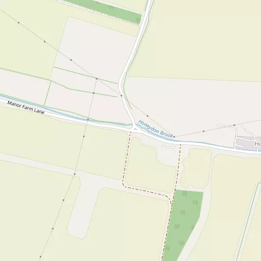
Local Map
⇅
Location Summary
⇅
Nearby Towns & Cities
⇅
Nearby Localities
- Colmworth
- Staploe
- Chapel End
- Wyboston
- Chawston
- Eaton Socon
- Eaton Ford
- Little Staughton
- Hail Weston
- Bolnhurst
⇅
Smaller Settlements
⇅
Beaches
- Mill Beach
- Snettisham Beach
- Snettisham Scalp
⇅
Parks
- Buckwell Green
- New Pasture
- Reed Green
- Wimpole Park
⇅
Woods
- Bushmead Big Wood
- Cate's Wood
- Duke's Spinney
- Wood Corner
⇅
Hills
- Alington Hill
- Duloe Hill
- Gallow Hill
- Round Hill
⇅
Lakes
- Duloe Brooke
- Hayling Lake
- Latch Pool
- Seabrook Lake
⇅
Waterfalls
- Neptune Waterfall
- The Cascade
- Tower Waterfall
⇅
Headlands
- Botany Bay Point
- Tripcock Ness
⇅
Islands
- Longholme Island
- Rink Islands
⇅
Wetlands
- Summer Leys
- Ouse Fen
- Fowlmere
⇅
Health Services
- Bedford Hospital South Wing
- Manor Hospital
- Nelson Lodge
- Henbrook House
⇅
Education
- Bushmead Primary School
- Crosshall Infant and Junior School
- Polhill Campus
⇅
Train Stations
- St Neots
- Sandy
⇅
Bus Stations
- Huntingdon Bus Station
- Royston Bus Station
⇅
Coach Stations
- Milton Keynes Coachway
- Luton Airport Bus and Coach Station
⇅
Ferry Terminals
- Blackfriars Pier
- Embankment Pier
⇅
Airports
- Cambridge City Airport
- London Luton Airport
⇅
Airfields
- Sackfield Airfield
⇅
Heliports
- Magpas Air Ambulance
⇅
Harbours
- Chelsea Harbour
- Farndon Harbour