
New Mill End
About New Mill End
New Mill End is in Central Bedfordshire. Neighbouring places include East Hyde only 1.1 km South East, Fiddler's Hill only 2.2 km South South West, Perry Green lying 2.4 km East North East, Kinsbourne Green lying 3.3 km South West and Pepperstock lying 3.5 km West. Other nearby hamlets and settlements include West Hyde, Thrales End, Chiltern Green and Someries.
You may find out something new or interesting if you click a nearby place to see more local information.
All information is drawn from OS, ONS and OSM under open licence, reflecting the best available public data.
⇅
Local Map
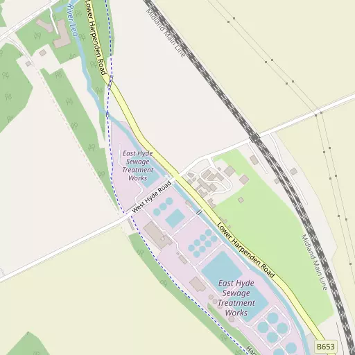
⇅
Location Summary
- New Mill End is located in Central Bedfordshire
- Administrative Area: Central Bedfordshire
- Ceremonial County: Bedfordshire
- Historic County: Central Bedfordshire
- Region & Country: Eastern / England
⇅
Nearby Towns & Cities
- Harpenden 3.9 km SSE
- Luton 4.4 km NW
- Dunstable 11.0 km WNW
- Houghton Regis 11.8 km WNW
- St Albans 11.2 km SSE


⇅
Nearby Localities
- East HydeVillage 1.1 km SE
- Fiddler's Hill District 2.2 km SSW
- Perry Green District 2.4 km ENE
- Kinsbourne Green Village 3.3 km SW
- PepperstockVillage 3.5 km W
- Park Town District 3.6 km NW
- Batford District 3.7 km SE
- New Town District 3.8 km NW
- Slip EndVillage 4.1 km W
- Wigmore District 4.3 km N


⇅
Smaller Settlements
- West Hyde 1.4 km SW
- Thrales End 1.8 km S
- Chiltern Green 1.9 km NE
- Someries 2.1 km N
- Peters Green 2.3 km ENE
- Ansells End 3.9 km ENE
- Porter's End 4.1 km ESE
- Mackerye End 4.3 km SE
- Wandon End 4.5 km NNE
- Friar's Wash 4.7 km SW


⇅
Beaches
- Bell Wharf Beach78.8 km ESE
- Hadleigh Ray75.2 km ESE
- Mill Beach76.8 km E

⇅
Parks
- Bell Meadow10.9 km S
- Fishers Green Meadow12.8 km NE
- Seabrook Meadow11.2 km S
- Woolenwick Schools Meadow12.7 km ENE
⇅
Woods
- Birch Wood724 m W
- Engine Spring787 m WNW
- Fernell's Wood689 m NNE
- Graves Wood807 m SSW
⇅
Hills
- Chalk Hill9.2 km NNE
- Harps Hill5.8 km WSW
- Warden Hill8.5 km NNW
- Winch Hill4.0 km NNE


⇅
Lakes
- Farley Pond4.5 km WNW
- Lydekker Pond3.6 km SSE
- Mill Stream1.7 km SE
- Southdown Ponds4.7 km SSE
⇅
Waterfalls
- Neptune Waterfall22.9 km SSW
- The Cascade48.1 km WNW
- Tower Waterfall23.0 km SW
⇅
Headlands
- Botany Bay Point51.2 km SSW
- Tripcock Ness49.7 km SE
⇅
Islands
- Chantry Island17.1 km S
- Heron Island11.4 km S
⇅
Wetlands
- Waterford Marsh19.7 km ESE
- Turnford Marsh28.3 km ESE
- Nazeing Marsh28.3 km ESE
⇅
Health Services
- Harpenden HospitalHospital 2.7 km SSE
- Harpenden Memorial HospitalHospital 3.8 km SSE
- Field House Care HomeMedical 3.4 km SSE
- St Marys Nursing CentreMedical 4.8 km NW
⇅
Education
- The King's SchoolSchool 2.4 km SSE
- The Lea Primary School and NurserySchool 2.7 km SSE
- University of BedfordshireUniversity 4.0 km NW
⇅
Railway Stations
- Luton Dart2.9 km NNW
- Harpenden4.3 km SSE
⇅
Bus Stations
- Welwyn Garden City Bus Station12.8 km ESE
- Stevenage Interchange12.9 km ENE
⇅
Coach Stations
- Luton Airport Bus and Coach Station3.2 km N
- Milton Keynes Coachway31.9 km NW
⇅
Ferry Terminals
- Embankment Pier41.9 km SSE
- Festival Pier42.1 km SSE
⇅
Airports
- London Luton Airport3.0 km N
- London Elstree Aerodrome21.8 km S
⇅
Airfields
- Rush Green Airfield10.5 km NE
- Bovingdon Airfield18.1 km SW
⇅
Heliports
- The London Heliport44.4 km SSE
- The Egerton-Smith Centre54.4 km NE
⇅
Harbours
- Chelsea Harbour43.8 km SSE
- Cutter's Dock91.0 km ESE