
Newton by Toft
About Newton by Toft
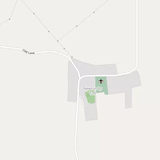
Newton by Toft, in Lincolnshire, has Newtoft lying 966 m South South West, Faldingworth only 3.2 km South South East, Middle Rasen around 4.3 km East North East and Owmby-by-Spital lying 4.8 km West. Other rural settlements include Toft next Newton, West Rasen, Buslingthorpe, Bishopbridge and Cold Hanworth.
You might learn something new by clicking through to a nearby place.
Data shown here comes from OS, ONS and OSM under open licence, using the latest public sources available.
⇅
Local Map
⇅
Location Summary
- Newton by Toft is located in Lincolnshire
- Administrative Area: Lincolnshire
- Ceremonial County: Lincolnshire
- Historic County: Lincolnshire
- Region & Country: East Midlands / England
⇅
Nearby Towns & Cities
- Market Rasen
- Wragby
- Kirton in Lindsey
- Brigg
- Lincoln
⇅
Nearby Localities
⇅
Smaller Settlements
⇅
Beaches
- Cleethorpes Beach
- Humberston Fitties Beach
- Tetney High Sands
⇅
Parks
- Burgage Green
- Doncaster Common
- Killamarsh Meadows
- Wilsford Warren
⇅
Woods
- Ash Holt
- Dogland Wood
- Newton Covert
- Shaft Wood
⇅
Hills
- Gibbet Hill
- Hamilton Hill
- Newel Well Hill
- Owersby Top
⇅
Lakes
- Cowdyke
- Kingerby Spa
- River Rase (South Branch)
- Toft Newton Reservoir
⇅
Waterfalls
- Goitstock Waterfall
- Kinder Downfall
- Lumb Fall
⇅
Headlands
- Flamborough Head
- Red Cliff Point
⇅
Islands
- Branston Island
- Torksey Island
⇅
Wetlands
- Lea Marsh
- Laughterton Marsh
- Smithy Marsh
⇅
Health Services
- The Priory Hospital
- Lincoln Private Hospital
- Hill House Nursing Home
- St Luke's Private Nursing Home
⇅
Education
- Faldingworth Community Primary School
- The Middle Rasen Primary School
- Showground Campus
⇅
Railway Stations
- Market Rasen
- Kirton Lindsey
⇅
Bus Stations
- Lincoln Central Bus Station
- Louth Bus Station
⇅
Coach Stations
- Meadowhall Interchange
- Chesterfield Coach Station
⇅
Ferry Terminals
- Hull Ferry Port
- Normanton Chain Ferry
⇅
Airports
- Wickenby Aerodrome
- Humberside Airport
⇅
Airfields
- Hibaldstow Airfield
- Sturgate Airfield
⇅
Heliports
- Lincs and Notts Air Ambulance HQ
- Nottingham Heliport
⇅
Harbours
- South Killingholme Haven
- Old Harbour