
Toft next Newton
About Toft next Newton
Toft next Newton is in Lincolnshire. Neighbouring places include Newtoft lying 1.7 km South, Owmby-by-Spital just 4.2 km West, Normanby-by-Spital just 4.2 km West, Faldingworth lying 4.2 km South South East and Middle Rasen around 4.8 km East. Other countryside settlements include Newton by Toft, West Rasen, Bishopbridge and Saxby.
You might discover something new by clicking a nearby place for more local details.
Data shown here comes from OS, ONS and OSM under open licence, using the latest public sources available.
⇅
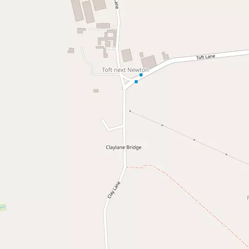
Local Map
⇅
Location Summary
- Toft next Newton is located in Lincolnshire
- Administrative Area: Lincolnshire
- Ceremonial County: Lincolnshire
- Historic County: Lincolnshire
- Region & Country: East Midlands / England
⇅
Nearby Towns & Cities
- Market Rasen 6.5 km E
- Wragby 13.5 km SE
- Kirton in Lindsey 14.8 km NW
- Brigg 19.4 km N
- Lincoln 17.6 km SSW


⇅
Nearby Localities
- NewtoftVillage 1.7 km S
- Owmby-by-SpitalVillage 4.2 km W
- Normanby-by-SpitalVillage 4.2 km W
- FaldingworthVillage 4.2 km SSE
- Middle RasenVillage 4.8 km E
- GlenthamVillage 4.8 km WNW
- SpridlingtonVillage 5.0 km SW
- KirkbyVillage 5.0 km NNE
- OsgodbyVillage 5.6 km NE
- North OwersbyVillage 6.6 km NNE


⇅
Smaller Settlements
- Newton by Toft 1.1 km SE
- West Rasen 2.3 km ENE
- Bishopbridge 3.2 km NNW
- Saxby 4.1 km WSW
- East Firsby 4.2 km SW
- Caenby 4.5 km WNW
- Buslingthorpe 4.8 km SE
- Kingerby 4.9 km NNE
- Cold Hanworth 4.9 km SSW
- Friesthorpe 5.6 km SSE


⇅
Beaches
- Cleethorpes Beach34.1 km NE
- Humberston Fitties Beach34.4 km ENE
- Tetney High Sands35.6 km ENE
⇅
Parks
- Burgage Green47.8 km SW
- Doncaster Common46.3 km WNW
- Killamarsh Meadows59.0 km W
- Wilsford Warren44.7 km S
⇅
Woods
- Dogland Wood2.8 km SSW
- Kingerby Wood3.2 km N
- Newton Covert2.2 km S
- The Chase3.5 km NNE
⇅
Hills
- Gibbet Hill4.4 km ESE
- Hamilton Hill8.2 km ENE
- Newel Well Hill6.6 km WNW
- Owersby Top6.7 km NE

⇅
Lakes
- Ancholme Head8.2 km WSW
- Cowdyke5.8 km NE
- Kingerby Spa3.3 km N
- Toft Newton Reservoir987 m SW
⇅
Waterfalls
- Goitstock Waterfall107.8 km WNW
- Kinder Downfall95.8 km W
- Lumb Fall106.3 km WNW
⇅
Headlands
- Flamborough Head85.0 km NNE
- Red Cliff Point96.0 km N
⇅
Islands
- Branston Island18.3 km SSE
- Torksey Island22.5 km WSW
⇅
Wetlands
- Lea Marsh22.9 km W
- Laughterton Marsh24.8 km WSW
- Smithy Marsh31.8 km SW
⇅
Health Services
- The Priory HospitalHospital 8.6 km W
- Lincoln Private HospitalHospital 17.1 km SSW
- Hill House Nursing HomeMedical 5.8 km NE
- St Luke's Private Nursing HomeMedical 10.6 km S
⇅
Education
- Faldingworth Community Primary SchoolSchool 4.2 km SSE
- Normanby County Primary SchoolSchool 4.3 km W
- Showground CampusUniversity 12.5 km SW
⇅
Railway Stations
- Market Rasen6.5 km E
- Kirton Lindsey15.8 km NW
⇅
Bus Stations
- Lincoln Central Bus Station18.4 km SSW
- Scunthorpe Bus Station27.2 km NNW
⇅
Coach Stations
- Meadowhall Interchange65.1 km W
- Chesterfield Coach Station68.1 km WSW
⇅
Ferry Terminals
- Hull Ferry Port41.6 km NNE
- Normanton Chain Ferry83.6 km SW
⇅
Airports
- Wickenby Aerodrome8.9 km SE
- Humberside Airport22.8 km NNE
⇅
Airfields
- Hibaldstow Airfield14.2 km NNW
- Sturgate Airfield16.2 km W
⇅
Heliports
- Lincs and Notts Air Ambulance HQ23.7 km SSW
- Nottingham Heliport72.2 km SW
⇅
Harbours
- South Killingholme Haven32.5 km NNE
- Old Harbour40.8 km N