
Ramsey St Mary's
About Ramsey St Mary's
Ramsey St Mary's lies within Cambridgeshire. Among the nearby places are Ramsey Mereside only 2.7 km East, Pondersbridge situated 2.9 km North, Ramsey Heights just 3.8 km South and Ramsey Forty Foot only 5.0 km East South East. Other countryside places nearby include Ramsey Hollow, Reach, Great Raveley, Church End and Oldeamere.
You may find extra local information by clicking a nearby place.
Information is sourced from OS, ONS and OSM under open licence, using publicly available datasets.
⇅
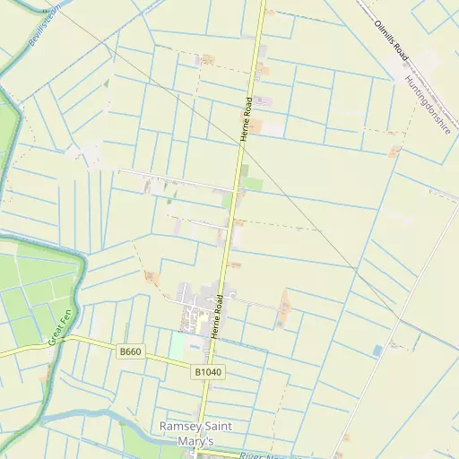
Local Map
⇅
Location Summary
- Ramsey St Mary's is located in Cambridgeshire
- Administrative Area: Cambridgeshire
- Ceremonial County: Cambridgeshire
- Historic County: Cambridgeshire
- Region & Country: Eastern / England
⇅
Nearby Towns & Cities
- Ramsey
- Whittlesey
- Chatteris
- March
- Peterborough
⇅
Nearby Localities
⇅
Smaller Settlements
⇅
Beaches
- Snettisham Beach
- Snettisham Scalp
- Stubborn Sand
⇅
Parks
- Butt Green
- Empty Common
- Larks Green
- New Pasture
⇅
Woods
- Decoy Belt
- Decoy Wood
- Jackson's Covert
- Railway Covert
⇅
Hills
- Fox Hole Hill
- High Holborn Hill
- Horsey Hill
- Walton Hill
⇅
Lakes
- Gildenburgh Water
- Nightingale's Corner
- Serpentine Lake
- Sunset Lake
⇅
Waterfalls
- Neptune Waterfall
- The Cascade
- Tower Waterfall
⇅
Headlands
- North Weir Point
- Tripcock Ness
⇅
Islands
- Battcock's Island
- Holt Island
⇅
Wetlands
- Gault Hole
- Ouse Fen
- Horse Marsh
⇅
Health Services
- Doddington Community Hospital
- Peterborough City Hospital
- The Red House
- Cedar Court
⇅
Education
- The Ashbeach Primary School
- Ramsey Junior School
- Madingley Hall
⇅
Railway Stations
- Whittlesea
- Peterborough Nene Valley
⇅
Bus Stations
- Huntingdon Bus Station
- Spalding Bus Station
⇅
Coach Stations
- Milton Keynes Coachway
- Luton Airport Bus and Coach Station
⇅
Ferry Terminals
- Normanton Chain Ferry
- Blackfriars Pier
⇅
Airports
- Cambridge City Airport
- London Luton Airport
⇅
Airfields
- Upwood Airfield
- Peterborough Business Airfield
⇅
Heliports
- Magpas Air Ambulance
- The Egerton-Smith Centre
⇅
Harbours
- Brancaster Harbour
- Farndon Harbour