
Simonsburrow
About Simonsburrow
Simonsburrow sits within Devon. Places nearby include Millhayes only 2.3 km South South West, Hemyock situated 3.0 km South South West, Rockwell Green lying 4.4 km North North West, Sampford Arundel only 4.5 km North West and Westford only 4.8 km North North West. Other rural settlements include Clayhidon, Rosemary Lane, Ford Street and Culm Davy.
You may find out something new or interesting if you click a nearby place to see more local information.
Data shown here comes from OS, ONS and OSM under open licence, using the latest public sources available.
⇅
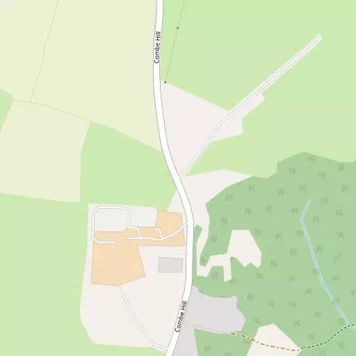
Local Map
⇅
Location Summary
- Simonsburrow is located in Devon
- Administrative Area: Devon
- Ceremonial County: Devon
- Historic County: Devon
- Region & Country: South West / England
⇅
Nearby Towns & Cities
- Wellington 4.5 km N
- Taunton 11.3 km NE
- Wiveliscombe 13.3 km NNW
- Cullompton 15.4 km SW
- Exeter 32.7 km SW


⇅
Nearby Localities
- MillhayesVillage 2.3 km SSW
- HemyockVillage 3.0 km SSW
- Rockwell GreenVillage 4.4 km NNW
- Sampford ArundelVillage 4.5 km NW
- WestfordVillage 4.8 km NNW
- ChelstonVillage 4.9 km N
- CulmstockVillage 5.0 km WSW
- West BucklandVillage 5.2 km NNE
- TonedaleDistrict 5.5 km NNW
- White BallVillage 5.5 km WNW


⇅
Smaller Settlements
- Clayhidon 1.7 km ESE
- Rosemary Lane 2.1 km SE
- Ford Street 2.3 km NNE
- Culm Davy 2.4 km WSW
- Wrangway 2.8 km NW
- Garlandhayes 2.9 km E
- Blackmoor 3.1 km NE
- Pleamore Cross 3.5 km NW
- Sampford Moor 3.8 km WNW
- Bagley Green 3.8 km NW


⇅
Beaches
- Branscombe Ebb28.6 km S
- Seaton Beach28.1 km SSE
- West Street Beach28.4 km NNW


⇅
Parks
- Pennsylvania Park30.9 km SW
- The Lawn43.6 km SSW
- Worle Moor50.6 km NNE
- Yargrass Green49.0 km NE
⇅
Woods
- Greywalls Copse1.2 km WSW
- Greywalls Plantation1.0 km WSW
- Merry Close Copse1.1 km NNW
- Slade Plantation1.1 km ENE

⇅
Hills
- Clayhidon Hill1.9 km SE
- Combe Hill843 m SSW
- Culm Davy Hill2.3 km WSW
- Wellington Hill1.3 km NW
⇅
Lakes
- Blagdon Reservoir5.7 km E
- Hobby Pond5.5 km N
- Leigh Reservoir5.4 km ENE
- The Basins4.9 km NNW
⇅
Waterfalls
- Becka Falls52.7 km SW
- Broad Falls69.5 km SW
- Horseshoe Falls63.0 km SW
⇅
Headlands
- Blue Ben27.8 km N
- Brandy Head33.5 km S
⇅
Islands
- Fenning Island33.7 km NNE
- Stert Island35.6 km NNE
⇅
Wetlands
- New Marsh17.9 km N
- Farway Marsh19.4 km SE
- Stafford Marsh26.5 km SSE
⇅
Health Services
- Wellington Community HospitalHospital 4.2 km N
- Musgrove Park HospitalHospital 10.5 km NE
- Oaktree CourtMedical 3.2 km N
- Chelston Park Nursing HomeMedical 3.9 km N
⇅
Education
- Hemyock Primary SchoolSchool 3.2 km SSW
- Wellesley Park Primary SchoolSchool 3.6 km N
- Exeter AcademyUniversity 30.8 km SW
⇅
Railway Stations
- Tiverton Parkway10.3 km WSW
- Taunton12.4 km NE
⇅
Bus Stations
- Taunton Bus Station11.5 km NE
- Exeter Bus Station32.0 km SW
⇅
Coach Stations
- Torquay Coach Station56.3 km SSW
- Plymouth Coach Station90.7 km SW
⇅
Ferry Terminals
- Starcross Pier38.2 km SSW
- Greenway Quay67.3 km SSW
⇅
Airports
- Exeter Airport26.5 km SSW
- Cardiff Airport51.9 km N
⇅
Airfields
- Dunkeswell Airfield8.5 km S
- Watchford Farm9.4 km ESE
⇅
Heliports
- Cardiff City Heliport59.0 km N
- Lake Heliport73.1 km W

⇅
Harbours
- Watchet Harbour28.2 km NNW
- Lympstone Boat Shelter35.7 km SSW