
St James', Exeter
About St James'
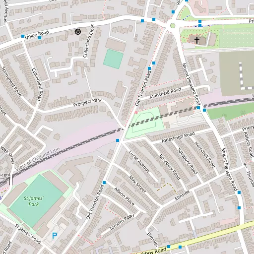
St James' is positioned 613 m ESE from Exeter in Devon. Local places nearby include Polsloe Priory situated 613 m East South East, Polsloe only 621 m East South East, Pennsylvania situated 671 m North North West, Stoke Hill situated 823 m North North East and Newtown around 883 m South. Other settlements close by include Huxham, Half Moon Village, Netherexe and Columbjohn.
You may find out something new or interesting if you click a nearby place to see more local information.
This page uses OS, ONS and OSM data supplied under open licence.
⇅
Local Map
⇅
Location Summary
- St James' is a neighbourhood in Exeter
- Administrative Area: Devon
- Ceremonial County: Devon
- Historic County: Devon
- Region & Country: South West / England
⇅
Nearby Towns & Cities
⇅
Nearby Localities
⇅
Smaller Settlements
⇅
Beaches
- Cockle Sand
- Powderham Sand
- Starcross Sand
⇅
Parks
- Palm Cross Green
- Pennsylvania Park
- Pleasure Grounds
- The Lawn
⇅
Woods
- Grassway Plantation
- Grassway Wood
- Jubilee Copse
- Lower Covert
⇅
Hills
- Great Hill
- Roman Hill
- Stoke Hill
- Stoke Hill
⇅
Lakes
- Fordland Pond
- Haldon Ponds
- Salmon Pool
- Surry Pond
⇅
Waterfalls
- Becka Falls
- Broad Falls
- Horseshoe Falls
⇅
Headlands
- Brandy Head
- Otterton Point
⇅
Islands
- Ore Stone
- Thatcher Rock
⇅
Wetlands
- Duck's Marsh
- West Mud
- Greenland
⇅
Health Services
- Royal Devon and Exeter Hospital Heavitree
- Exeter Hospital
- The Lodge Care Home
- The Dales Nursing Home
⇅
Education
- St Sidwell's Church of England Primary School
- Stoke Hill Infant School
- Exeter Academy
⇅
Train Stations
- St James' Park
- Polsloe Bridge
⇅
Bus Stations
- Exeter Bus Station
- Taunton Bus Station
⇅
Coach Stations
- Torquay Coach Station
- Plymouth Coach Station
⇅
Ferry Terminals
- Starcross Pier
- Greenway Quay
⇅
Airports
- Exeter Airport
- Plymouth City Airport
⇅
Airfields
- Farway Common Airfield
⇅
Heliports
- Lake Heliport
⇅
Harbours
- Lympstone Boat Shelter
- Old Harbour