
Little Heath, Cray's Pond
About Little Heath
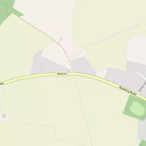
Little Heath sits 429 m ESE of Cray's Pond in Oxfordshire. Places nearby include Cray's Pond only 429 m East South East, Woodcote lying 1.6 km North East, Whitchurch Hill just 1.9 km South South East, Cleeve only 2.9 km West North West and Lower Basildon around 3.1 km South West. Other settlements close by include Goring Heath, Exlade Street, Path Hill and Collins End.
You may find extra local information by clicking a nearby place.
The details shown here use OS, ONS and OSM data provided under open licence.
⇅
Local Map
⇅
Location Summary
- Little Heath is a neighbourhood in Cray's Pond
- Administrative Area: Oxfordshire
- Ceremonial County: Oxfordshire
- Historic County: Oxfordshire
- Region & Country: South East / England
⇅
Nearby Towns & Cities
- Parent town: Cray's Pond
- Wallingford 9.1 km NNW
- Reading 11.0 km SE
- Henley-on-Thames 12.9 km E
- Didcot 14.2 km NW
- Oxford 28.1 km NNW


⇅
Nearby Localities
- Cray's PondVillage 429 m ESE
- WoodcoteVillage 1.6 km NE
- Whitchurch HillVillage 1.9 km SSE
- CleeveDistrict 2.9 km WNW
- Lower Basildon Village 3.1 km SW
- GoringVillage 3.3 km W
- Whitchurch-on-ThamesVillage 3.5 km S
- Streatley Village 4.0 km W
- CheckendonVillage 4.1 km NE
- Pangbourne Village 4.2 km S


⇅
Smaller Settlements
- Goring Heath 2.5 km ESE
- Exlade Street 2.9 km ENE
- Path Hill 2.9 km SE
- Collins End 3.1 km SE
- Hook End 3.7 km E
- Nuney Green 4.2 km ESE
- Cane End 4.8 km ESE
- Hailey 4.8 km N
- Stitchens Green 5.0 km WSW
- Mapledurham 5.3 km SE


⇅
Other places with this name
- Little Heath, West Berkshire 7.9 km SSE
- Little Heath, Hertfordshire 66.0 km ENE
- Little Heath, West Sussex 79.0 km SSE
- Little Heath, Greater London 83.7 km E
- Little Heath, Cambridgeshire92.9 km NE
- Little Heath 105.8 km NNW
- Little Heath, Staffordshire 155.1 km NNW
- Little Heath, Cheshire East 190.0 km NNW
⇅
Beaches
- Cotswold Hills Beach62.2 km WNW
- Goatee Beach73.1 km SSW
- Weston Point73.3 km SSW

⇅
Parks
- Loop Meadow14.6 km NW
- Merton Field27.7 km NNW
- North Croft21.5 km SW
- The Common9.5 km ESE
⇅
Woods
- Ashengrove Covert361 m WNW
- Bottom Copse501 m SSW
- High Wood607 m WSW
- Old Elvendon Wood371 m N
⇅
Hills
- Boze Down3.1 km SSE
- Catsbrain Hill2.2 km NNW
- Greenmoor Hill1.5 km ENE
- Mile End Hill2.7 km NNW
⇅
Lakes
- Furzemoor Pond877 m SSE
- Hyde's Pond2.0 km ESE
- Poplar's Pond966 m SSE
- Tinepit Pond1.6 km SSE
⇅
Waterfalls
- Neptune Waterfall40.6 km ENE
- The Cascade56.4 km N
- Tower Waterfall40.2 km ENE
⇅
Headlands
- Botany Bay Point36.3 km ESE
- Chidham Point78.0 km S
⇅
Islands
- Appletree Eyot7.7 km SE
- Poplar Island7.5 km SE
⇅
Wetlands
- Wargrave Marsh14.9 km E
- Midgham Marsh16.5 km SSW
- Thatcham Reed Beds18.9 km SW
⇅
Health Services
- Wallingford Community HospitalHospital 8.6 km NNW
- Joyce GroveHospital 8.8 km NE
- Huntercombe Hall Care HomeMedical 8.9 km NNE
- Florence House Nursing HomeMedical 10.2 km SE

⇅
Education
- The Oratory Preparatory SchoolSchool 822 m SE
- Woodcote Primary SchoolSchool 1.8 km NE
- University of ReadingUniversity 11.9 km SE
⇅
Railway Stations
- Goring and Streatley3.1 km W
- Pangbourne4.0 km S
⇅
Bus Stations
- High Wycombe Bus Station26.0 km ENE
- Bracknell Bus Station26.3 km ESE
⇅
Coach Stations
- High Wycombe Coachway24.7 km ENE
- Luton Airport Bus and Coach Station63.2 km NE
⇅
Ferry Terminals
- Hampton Ferry Boathouse51.8 km ESE
- Hammerton's Pier54.3 km E
⇅
Airports
- Wycombe Air Park21.8 km ENE
- Blackbushe Airport27.7 km SE
⇅
Airfields
- RAF Benson10.5 km N
- Brimpton Airfield16.4 km SSW
⇅
Heliports
- The London Heliport63.2 km E
- Magpas Air Ambulance111.2 km NNE
⇅
Harbours
- Chelsea Harbour63.0 km E
- Ocean Dock73.3 km SSW