
Millhayes
About Millhayes
Millhayes, in Devon, has Stockland only 1.4 km North East, Dalwood only 3.3 km South South East, Rawridge situated 4.4 km North West, Wilmington situated 4.5 km South West and Membury only 4.5 km East. Other nearby hamlets and settlements include Ham, Cotleigh, Furley and Rock.
You may notice something interesting if you explore one of the nearby places.
Information is sourced from OS, ONS and OSM under open licence, using publicly available datasets.
⇅
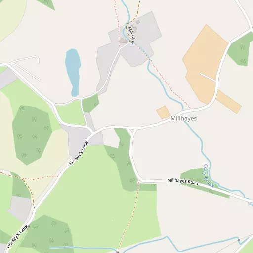
Local Map
⇅
Location Summary
- Millhayes is located in Devon
- Administrative Area: Devon
- Ceremonial County: Devon
- Historic County: Devon
- Region & Country: South West / England
⇅
Nearby Towns & Cities
⇅
Nearby Localities
⇅
Smaller Settlements
⇅
Other places with this name
⇅
Beaches
- Pound's Pool Beach
- Seaton Beach
- Western Beach
⇅
Parks
- Pennsylvania Park
- The Lawn
- Worle Moor
- Yargrass Green
⇅
Woods
- Cummins Copse
- Piece Copse
- Quantock Common
- Rakehill Copse
⇅
Hills
- Beacon Hill
- Horner Hill
- Rower Hill
- Stockland Hill
⇅
Lakes
- Laps Water
- Mill Stream
- Spittle Pond
- Woodhayne Range
⇅
Waterfalls
- Becka Falls
- Broad Falls
- Horseshoe Falls
⇅
Headlands
- Brandy Head
- Otterton Point
⇅
Islands
- Fenning Island
- Stert Island
⇅
Wetlands
- Farway Marsh
- Axe Marsh
- Stafford Marsh
⇅
Health Services
- Honiton Hospital
- Axminster Hospital
- Silverleigh
- Honiton Manor Nursing Home
⇅
Education
- Stockland Church of England Primary Academy
- Membury Primary School
- Architectural Association Hooke Park
⇅
Train Stations
- Honiton
- Axminster
⇅
Bus Stations
- Taunton Bus Station
- Exeter Bus Station
⇅
Coach Stations
- Torquay Coach Station
- Plymouth Coach Station
⇅
Ferry Terminals
- Starcross Pier
- Greenway Quay
⇅
Airports
- Exeter Airport
- Cardiff Airport
⇅
Airfields
- Watchford Farm
⇅
Heliports
- Cardiff City Heliport
⇅
Harbours
- Bridport Harbour
- Lympstone Boat Shelter